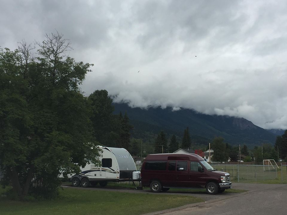
If you plan on heading out for the Canada Day long weekend, you may want to pack for a cool and wet couple days.
Environment Canada Meteorologist, Greg Walters, says he hopes this doesn’t spoil the plans for residents of the Bulkley Valley and Lakes District (BVLD).
“We’re noticing some very unsettled conditions heading into the weekend. There’s currently a trough of low-pressure over the BVLD, which will make for a lot of cloud coverage and scattered rain throughout the region for most of Friday, Saturday, and Sunday. The main story here is, temperatures are relatively below average for this time of year. We’re sitting about 4-5 degrees cooler than what we’d normally expect for the end of June.”
Walters says there may be a silver lining here though.
“A ridge of pressure seems to be forming which should play a factor later Sunday heading into Monday. With that, there’s a potential chance for sunshine Sunday but it would be more likely on Monday. Temperatures should creep up towards the end of the weekend around 20 degrees which is as mentioned, what we’d normally expect for this time of year. At this point, it’s a bit of a pipe dream but any hope is better than no hope at all.”
Walters finished by saying although it doesn’t look like a “banner long weekend”, this is a fairly normal pattern for the region before a very strong summer ridge makes its way into the area.
For current weather conditions and a more area-specific forecast, click here.
Something going on in the Bulkley Valley Lakes District you think people should know about?
Send us a news tip by emailing [email protected].


