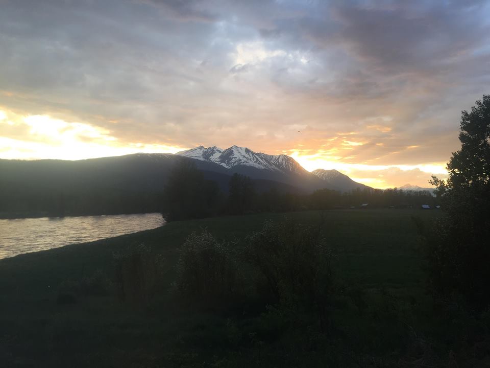
It’s been a weird week in the Bulkley Valley and Lakes District, as temperatures have been fluctuating rapidly over the past couple days.
To simplify things, heres Environment Canada Meteorologist, Doug Lundquist.
“There’s been a significant change in the weather pattern for Northwest BC as of late. Earlier in the week, there was a lot of heat, however, as the week progressed, a cold front has made its way back into the region.”
So Mr. Lundquist, heading into the weekend, what can we expect?
“As mentioned, we are fairly cool for this time of year, about 8 degrees below average. Friday and Saturday, expect mild temperatures with scattered showers and there is potential for isolated thunderstorms. Sunday, cloud coverage and much of the same, as we’re only expecting a day-time high of 13 degrees.”
Lundquist says although the long-term forecast can be skeptical at times, he believes warmer weather is on the horizon.
“Currently, there’s a ridge of high-pressure building in BC’s Southern interior that may play a factor later next week. With that high-pressure, it will most likely bring temperatures back up to around 20 degrees, which is the norm for this time of year. Heading into the early parts of next week, look for warmer temperatures, cloud coverage, and scattered precipitation across the Bulkley Valley and Lakes District.”


